As one of the most heavily traveled states in the country, Pennsylvania’s vast transportation network demonstrates technological changes from the 18th century to the present.
These changes, and the growth of Pennsylvania and the United States, would not be possible without bridges. Pennsylvania’s key location placed the Commonwealth at the forefront of development and application of innovative bridge technology and engineering.
From stone arches and covered bridges to metal trusses and cable suspension bridges, Pennsylvania has a diverse collection of bridge types across its landscape. This includes over 400 historic bridges, bridges that are eligible for listing, or are listed, in the National Register of Historic Places.
To showcase this collection, PennDOT created the Historic Bridges of Pennsylvania web map, an interactive GIS layer with locational and basic historical information about each bridge. It is important to note that this web map only includes extant historic bridges that are publicly owned by a federal, state, or local government agency or a toll commission organization.
The map does not include bridges owned by private entities such as railroads, businesses, or private individuals. For more information on other historic bridges that may not be featured on this map, visit the PA SHPO’s PA-SHARE website.
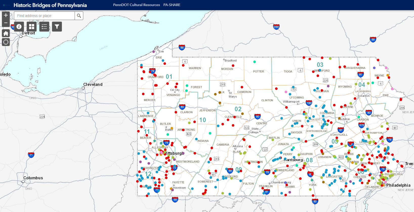
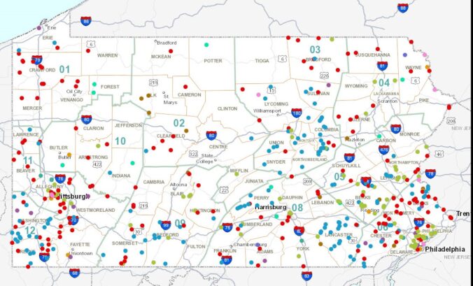
At first glance, the Historic Bridges of Pennsylvania web map looks like a series of colored dots scattered across Pennsylvania; however, each color represents a different bridge type. Currently, the web map includes the following types:
- Metal Truss
- Covered
- Concrete Arch
- Stringer
- T-Beam
- Box Beam
- Suspension
- Slab
- Rigid Frame
- Channel Beam
However, PennDOT is planning to add stone arches, metal thru girders, and metal arches soon. Keep an eye on the map as it expands!
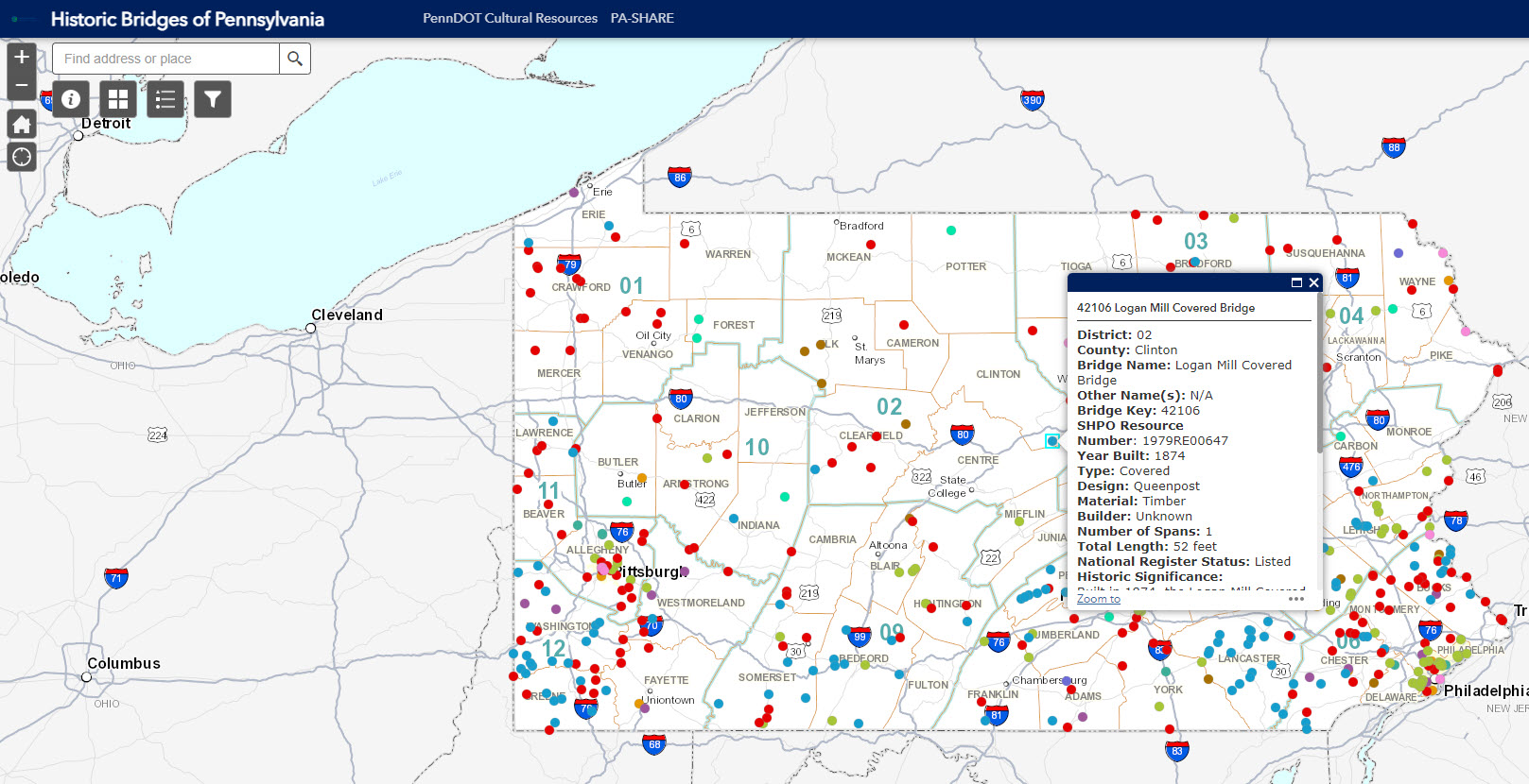
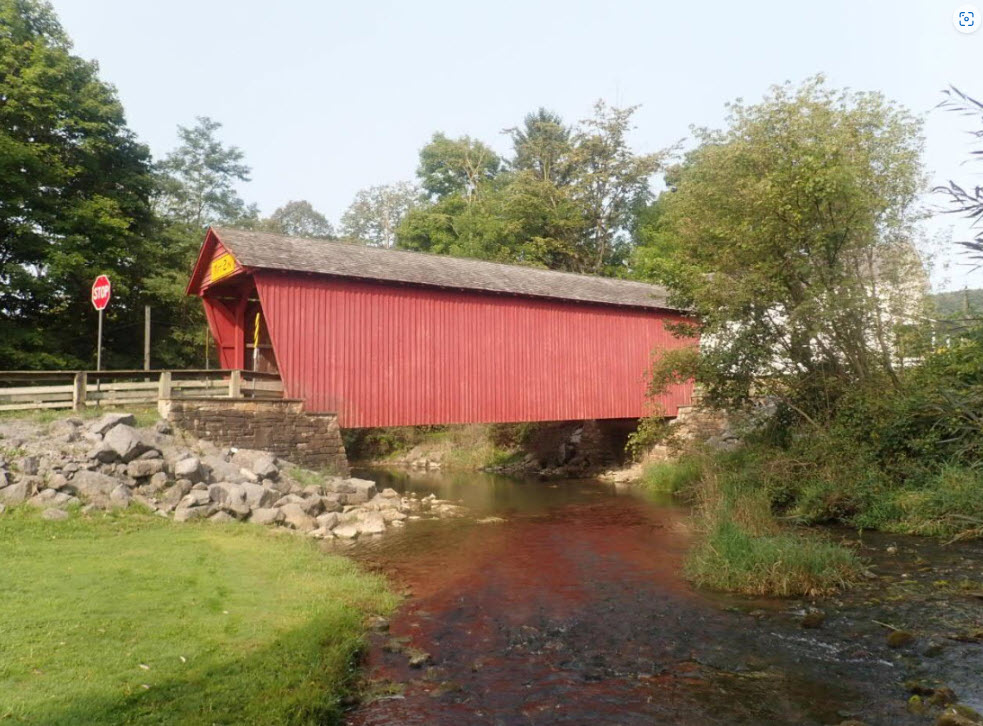
When a user clicks on an individual dot, for example the Logan Mill Covered Bridge in Clinton County, a pop-up appears with locational and historical information. Each pop-up contains the same details, if available, for every bridge and includes a photograph at the bottom.
Clicking on the photograph will open it in a new tab at full size. Please note that it may take time for photographs to load due to the quality.
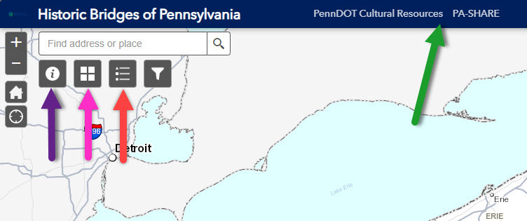
Located in the upper left corner are several tools and ways to interact with the map. The first, highlighted with a purple arrow, is the About section. This contains a quick overview of the web map, helpful links to additional information, and a guide to the map features.
Located to the right, with a pink arrow, is the Base Map option. This allows users to change the base map and features ten different options including photo imagery, USGA Topo maps and the USGS National Map. Next, highlighted by the red arrow, is the Map Legend. The legend can be left open while users explore the map and explains which color coordinates with which bridge type. Other useful links are located along the top bar, where the green arrow is pointing.
One of the best ways to interact with the Historic Bridges of Pennsylvania web map is by using the Filter option, showcased in the image above. This allows users to filter historic bridges based on County, Bridge Type, National Register Status, and Material. Multiple filters can be active at one time to further narrow down the map display. Note that the web map will automatically zoom in to the filtered resources.
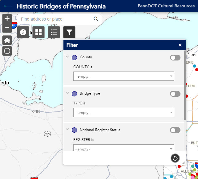
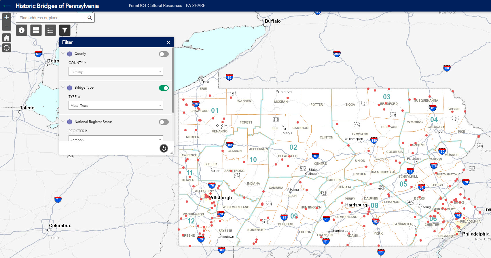
For example, if a user selects “Metal Truss” under the “Bridge Type” category and turns the filter on, then the map display changes to only show metal truss bridges. A filter is active when the button on the right appears green. When turned off, the map will automatically return to the original display. Refer to the About section for additional guidance on using the Filter option.
The Historic Bridges of Pennsylvania web map invites the public to explore the historic bridges in their local community and across the Commonwealth. PennDOT looks forward to expanding the map further with additional bridge types and hopes to add more resources to the About Section for people who wish to learn more about bridge history.
________________________________________________
Today’s post is by Guest Contributor Veronica Martin. Veronica is an Architectural Historian with PennDOT District 8-0.
0 Comments
2 Pingbacks