At the end of July, PennDOT celebrated the relocation of a historic bowstring truss bridge in Schuylkill County onto Schuylkill River Greenways’ trail system with a ribbon cutting ceremony.
Category: PennDOT (Page 1 of 8)
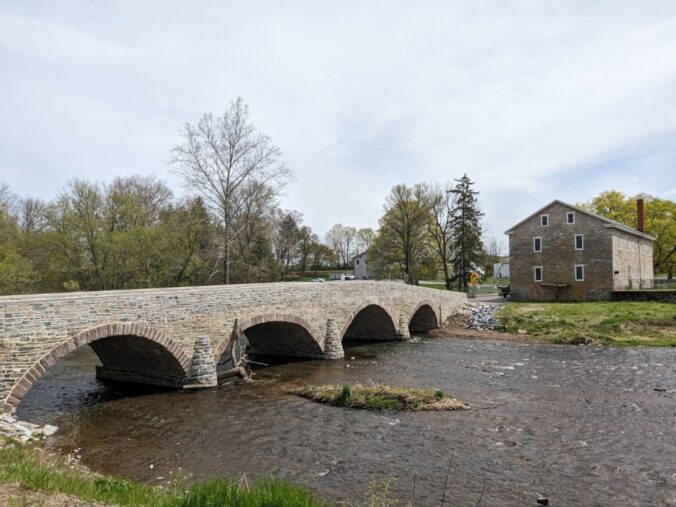
Bridges are a part of everyone’s lives, we walk across them, drive across them, and use them for cover in the rain. But do we ever really stop to appreciate the history of these bridges? My internship this summer focused a lot on historic bridges, especially stone arch bridge, and helped me to appreciate their value in the community.
The practice of historic preservation is like a family heirloom, passed down from one generation to the next so that when you get tasked with the role of heirloom keeper, it reminds us to not forget about the past and look to how it has shaped the present.
This is part of a biannual blog series highlighting the agreement documents executed by PA SHPO in accordance with Section 106 of the National Historic Preservation Act and its implementing regulations.
Between January 1 and June 30, 2024, PA SHPO has been a signatory to approximately ten (10) Section 106 agreement documents with five different federal agencies as part of consultation for the resolution of adverse effects to historic properties.
Quarrying our Data for Quarry Districts Part 2: The Updated Hardyston Jasper District
Back in October 2023, we shared a blog highlighting the updates to the Hardyston Jasper District that PA SHPO archaeologists were working on. These updates included reevaluating our PASS data to create and formally designate the NPS/Keeper Eligible Hardyston Jasper District, refine the district’s boundaries from the boundary established in the 1988 report by Anthony and Roberts, and identifying and evaluating sites for inclusion in the Hardyston Jasper District.
“Coming together is a beginning. Keeping together is progress. Working together is success.” — Henry Ford
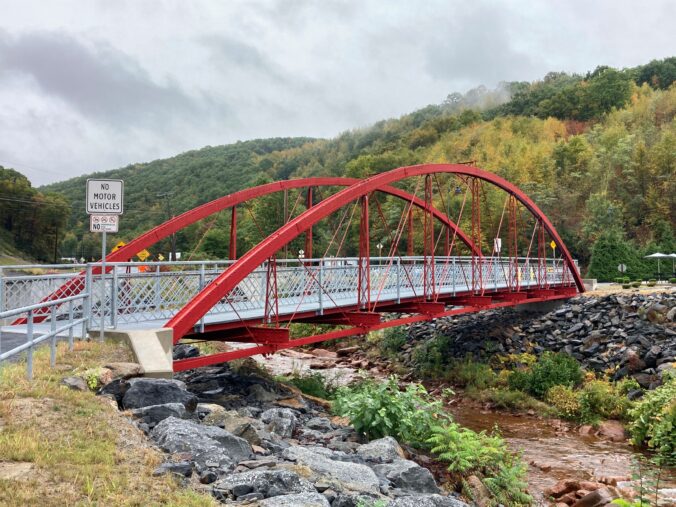
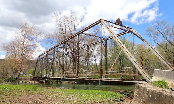
Last year, we announced PennDOT’s new funding source for historic metal truss bridges and highlighted two rehabilitation projects that were selected for the new program. With those projects well on their way, the Historic Metal Truss Bridge Capital Rehabilitation Program has since added four additional bridge projects across the Commonwealth.
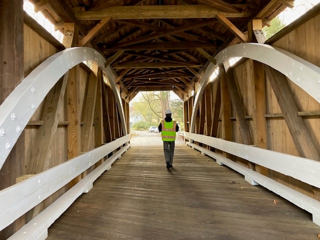
From Fifty-One to Two: Rehabilitation of One of Schuylkill County’s Last Two Remaining Covered Bridges
The Rock Covered Bridge and Zimmerman Covered Bridge National Register nominations note that Schuylkill County once had fifty-one covered bridges. By the time the nominations were written in 1977, the total count was down to two.
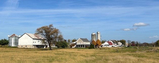
We had some fun recently during a site visit to identify the presence of a historic agricultural district for a solar project…
*Cue Sir David Attenborough’s voice*
Here we are searching for the elusive historic agricultural district. Often impossible to find, we are hoping to get a glimpse of it today, as whispers of its appearance have been heard. What vast expanses of agricultural land use and lack of modern residential development, perhaps we will get a sighting after all. But what is this that appears on the horizon? Large modern grain bins indicative of monocropping, followed by farmsteads lacking historic barns? Ah well, it would appear the earlier rumors of a visit from that elusive beast, the historic agricultural district, have been unfounded. Perhaps when we return to the hunt tomorrow, we may catch a glimpse.
As one of the most heavily traveled states in the country, Pennsylvania’s vast transportation network demonstrates technological changes from the 18th century to the present.
These changes, and the growth of Pennsylvania and the United States, would not be possible without bridges. Pennsylvania’s key location placed the Commonwealth at the forefront of development and application of innovative bridge technology and engineering.


Recent Comments