September is National Preparedness Month. According to the PA Emergency Management Agency (PEMA), this year’s theme is “Disasters don’t wait. Make your plan today.”
Now, that’s less a theme than a slogan, but it’s an important reminder of the importance of planning for the unexpected. We usually think about disasters, natural and otherwise, as they are happening. This September, in this year of all years, is the perfect time to recommit to planning for the unexpected.
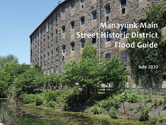
September also marks the end of our National Park Service-funded Hurricane Sandy grant, which has been funding projects in our Disaster Planning for Historic Properties Initiative (DPHPI). The last of this funding has been used for a project particularly appropriate for this month’s theme: the Manayunk Main Street Historic District Flood Guide.

Manayunk’s Flood Guide
The Flood Guide follows an earlier city-wide survey project in Philadelphia in which 92 buildings and structures were surveyed in the Manayunk Main Street Historic District alone. Using this survey data, the United States Army Corps of Engineers (USACE) produced the Philadelphia Historic Resource Flood Hazard Vulnerability Study.
This document identifies potential hazard mitigation measures for a sample of 25 surveyed buildings, including five in Manayunk. While only a preliminary study, it provided a useful jumping off point for a more thoroughly developed document specific to the district.

Like other projects completed as part of the DPHPI, the Philadelphia survey and USACE study primarily addressed individual historic buildings at elevated risk of flooding.
The Manayunk Historic District
A more holistic understanding of risk to historic districts as resources is an important next step. Added to the National Register of Historic Places in 1983, the Manayunk Main Street Historic District represents a dense concentration of nineteenth century commercial and industrial development.
Its collection of small retail spaces, many with residential space above, and larger industrial buildings repurposed for a variety of uses or continuing as light industry, can never be replaced if destroyed by flooding.
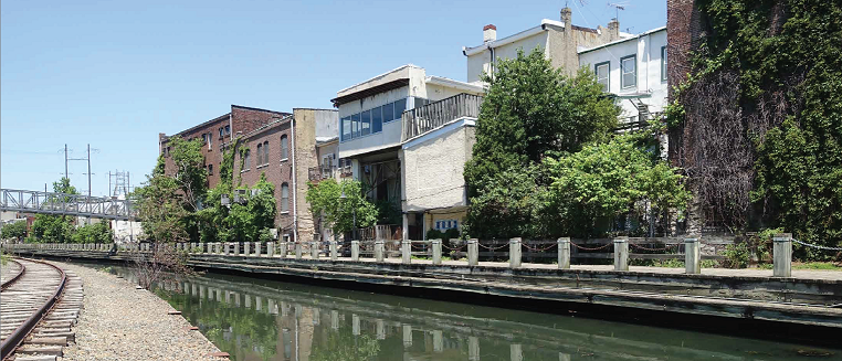
The boundaries of the Manayunk Main Street Historic District are explicitly tied to the community’s relationship to water. The district includes the Manayunk Canal, Venice Island, and “the flood plain of the Main Street district.” Essentially this historic district represents the flood-prone core of the Manayunk community.
The Manayunk Main Street Historic District is also locally listed in the Philadelphia Register of Historic Places, enabling the Philadelphia Historical Commission to review building permits submitted for buildings within the District.

A Resource
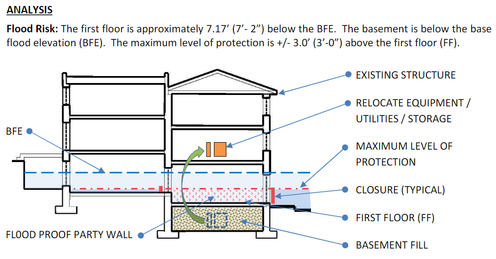
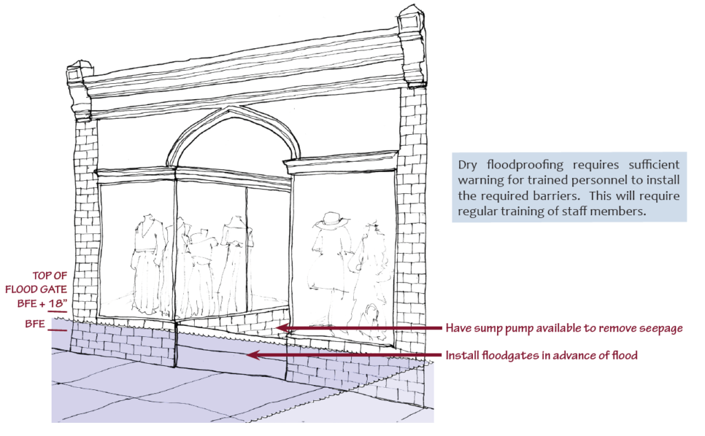
The Manayunk Main Street Flood Guide was developed to provide local property owners, business owners, and residents an overview of flood risk in the neighborhood, the specific City agencies involved with flood preparation and response, basic improvements and maintenance efforts to mitigate flooding, and more permanent hazard mitigation options top consider.
You can take a look at the Flood Guide here. It will be available to download from the Disaster Planning section of our website in the coming weeks.
The Guide also references the Guidelines on Flood Adaptation for Rehabilitating Historic Buildings, released by the National Park Service in November of last year. Some hazard mitigation measure can require extensive changes to a building which could risk damaging features that contribute to its historic character.
The Park Service has been working diligently to find a balance between that risk and the risk of losing the building entirely to natural disaster, and the Guidelines are the result of that work.

The Manayunk Main Street Historic District represents a unique confluence of risk in Philadelphia, but it is also a useful prototype for similar small to midscale commercial cores/corridors along rivers and streams throughout the state.
Our Hurricane Sandy grant may have concluded, but PA SHPO will continue to explore ways to provide assistance to communities of all sizes at risk of future flooding.
Leave a Reply