Think of Pennsylvania’s section of the famous Appalachian Trail, and generally you think of green mountain vistas, woodsy wilderness, and for anyone who’s hiked it, endless ROCKS.
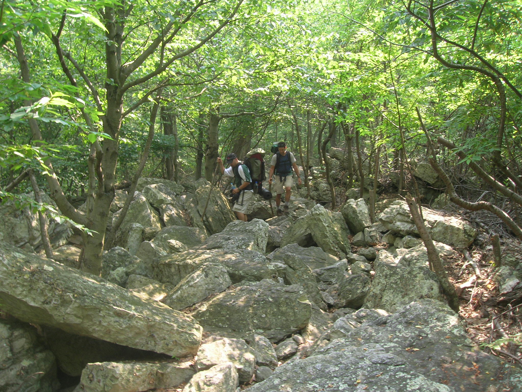
Rocksylvania!
Or you might think of the role Pennsylvania plays in Trail culture, being home to the Appalachian Trail (AT) Museum, the halfway marker and its associated half-gallon ice cream challenge, and storied hiker hostels such as the Duncannon’s Doyle Hotel or Palmerton’s town jail.
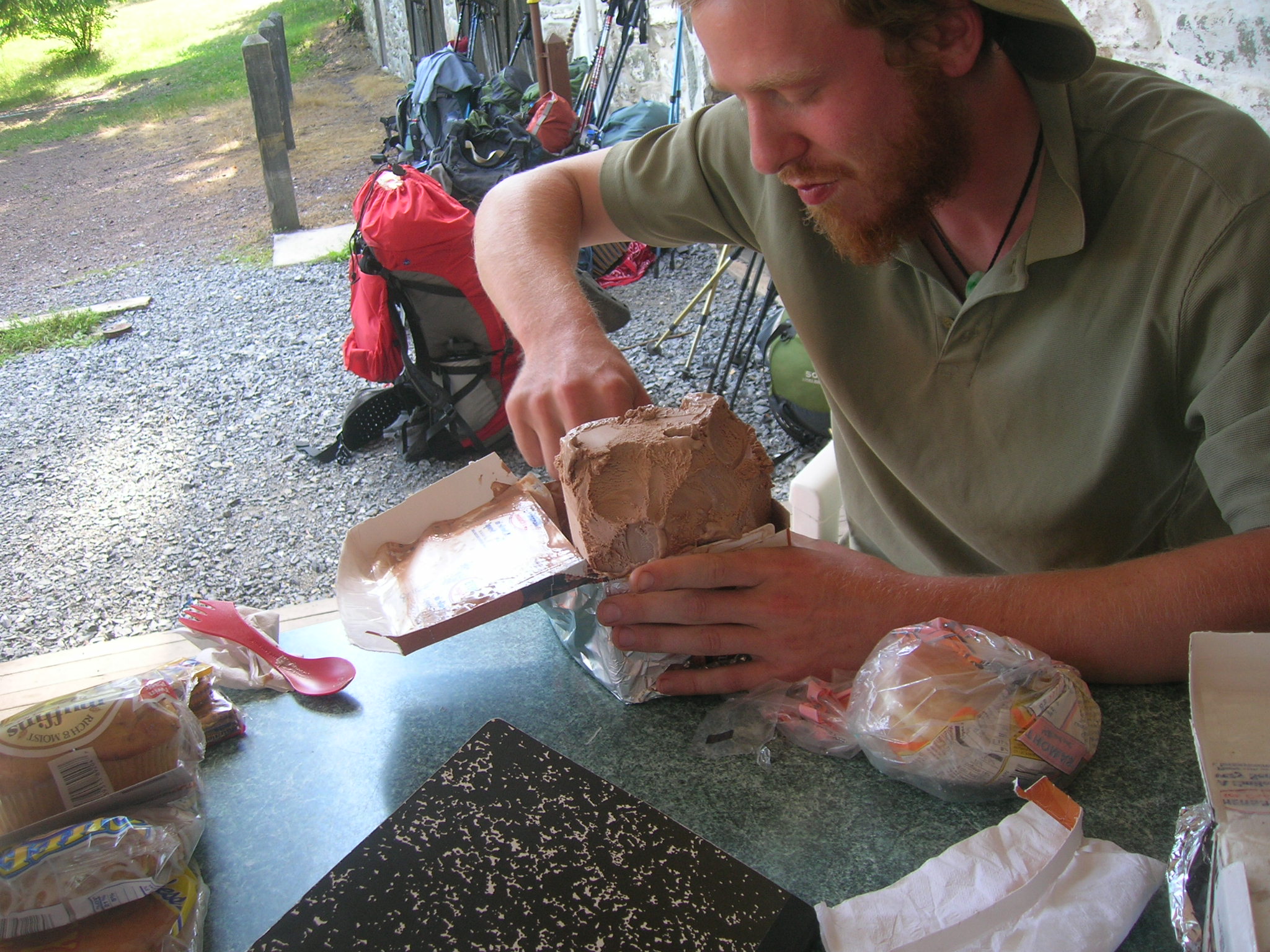
Thru-hikers attempting the entire AT celebrate the halfway point in Pennsylvania by consuming a half-gallon of Hershey’s in Pine Grove Furnace State Park. (Author’s photo.)
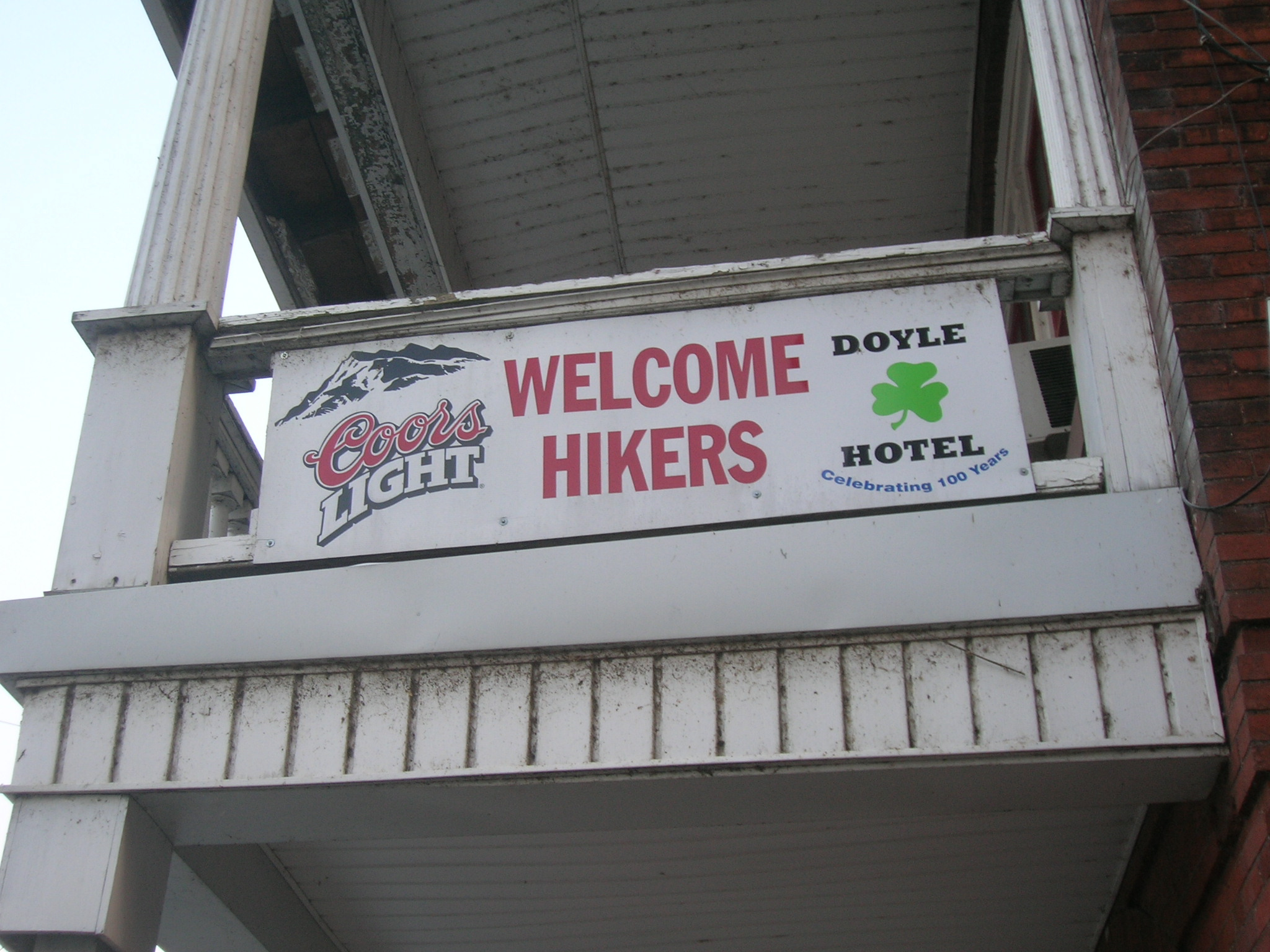
The famed Doyle Hotel in Duncannon. (Author’s photo.)
But more than most states along the AT, Pennsylvania’s 229 miles also provide intimate experiences with local history, winding past the locations of colonial-era frontier forts, iron furnaces, coal mining ghost towns, Victorian-era resources, a former amusement park, and even a WWII German POW camp.
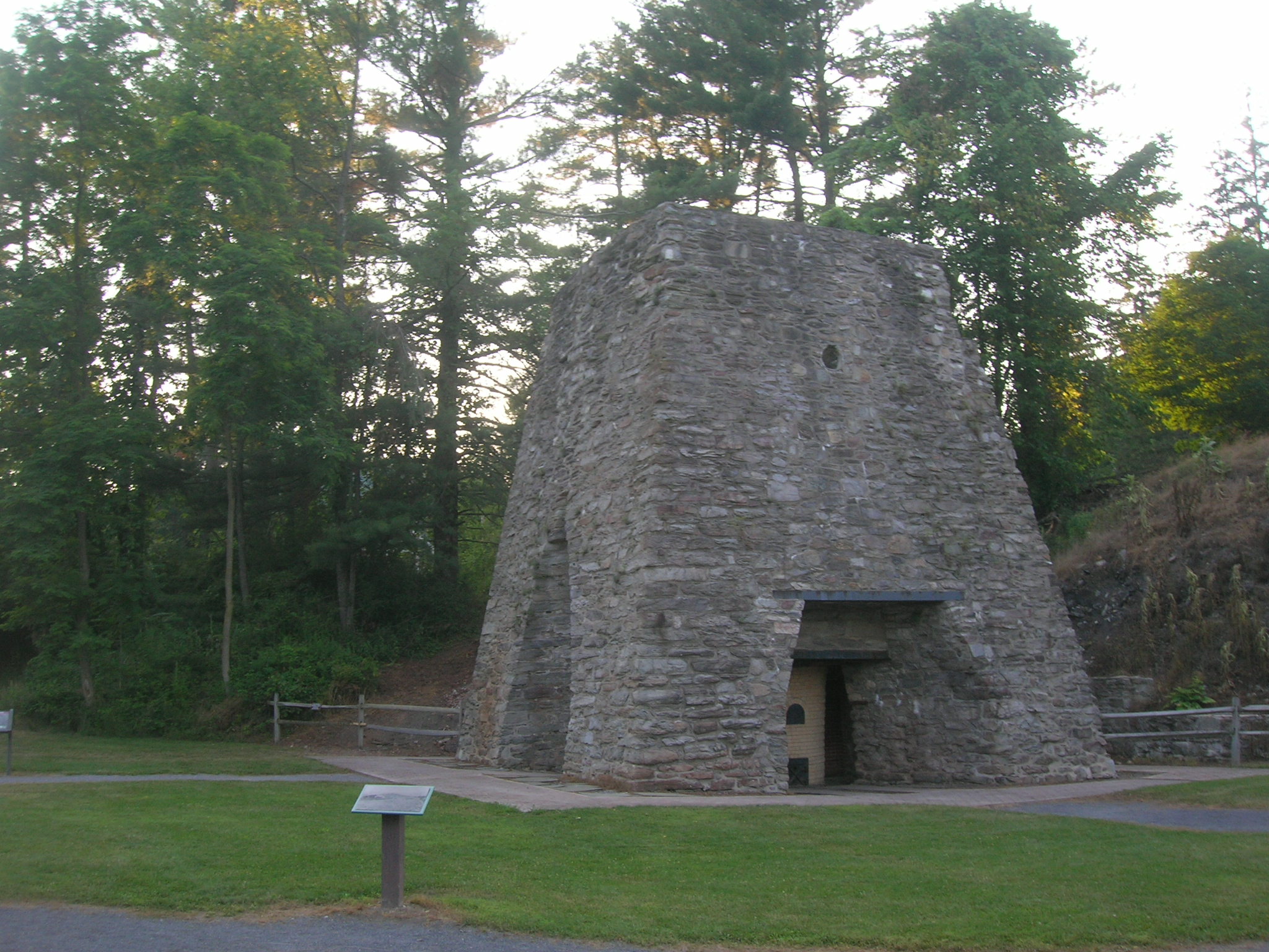
The Pine Grove Furnace is one of the many historic relic’s along PA’s AT. (Author photo.)
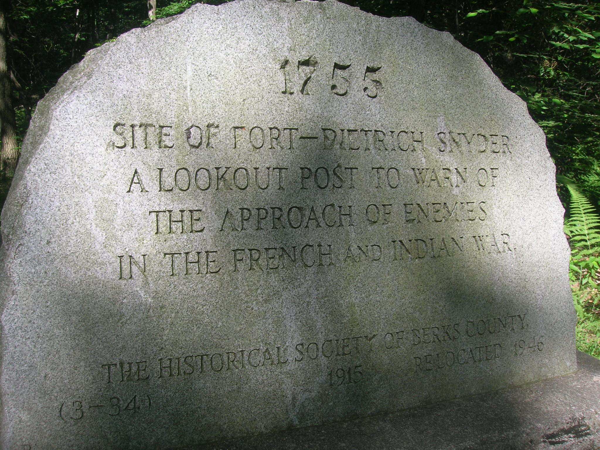
Historical Society of Berks County marker for the site of the 1775 Fort Dietrich Snyder. (Author photo.)
Just as fascinating is the history of the Appalachian Trail itself.
It was Benton MacKaye, a New Englander who began his career in Gifford Pinchot’s new US Forest Service, who detailed in 1921 a proposal for a ridgeline trail between the highest peak in New England and the highest peak in the South. MacKaye had become interested in the emerging discipline of regional planning and its big-picture thinking.
He envisioned this spinal trail and its branch lines spreading across the Appalachians, connecting a series of seasonal work camps and utopian nature-based communities in the mountains. It would serve as a wilderness buttress against the ever-expanding industrial and urban civilization of the East, providing demoralized workers with opportunities for healthy recreation and reconnection to nature and each other.
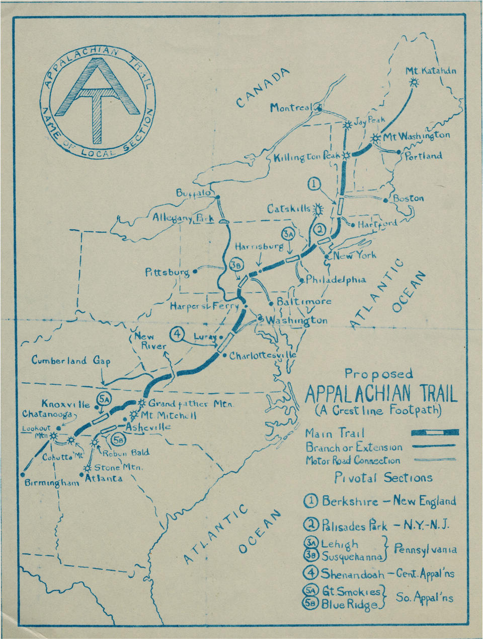
Benton MacKaye’s sketch of his Appalachian Trail proposal, as presented to the newly formed Appalachian Trail Conference in 1925. (Appalachian Trail Conservancy.)
MacKaye’s idealistic plans attracted many supporters and helped organize the Appalachian Trail Conference (ATC, now the Appalachian Trail Conservancy), which began implementation of the footpath, initially relying on the use of older trails such as Vermont’s Long Trail.
But it was ultimately left to the more pragmatic Myron Avery, a younger and more action-oriented ATC leader from Maine, to complete the Trail. Avery had helped form the Potomac Appalachian Trail Club in 1927 and through that group oversaw the cutting and blazing of the Appalachian Trail from South Mountain in south central Pennsylvania to the proposed Shenandoah National Park in the late 1920s.
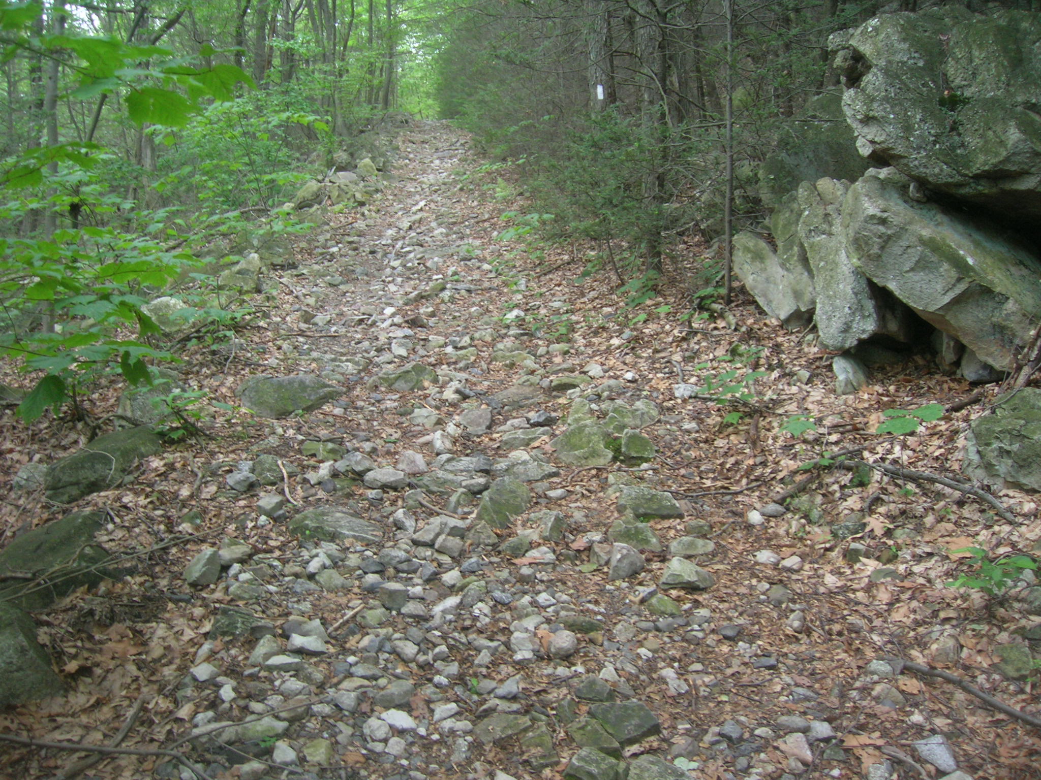
A former woods road, now blazed as the Appalachian Trail. (Author photo.)
To speed progress, trail builders often used existing woods roads. South Mountain’s recently established state forest reserves had these kinds of roads in plentitude, legacies from clear cutting and charcoal production done for nearby iron furnaces. Even today, the trail through this area often continues to follow old roads.
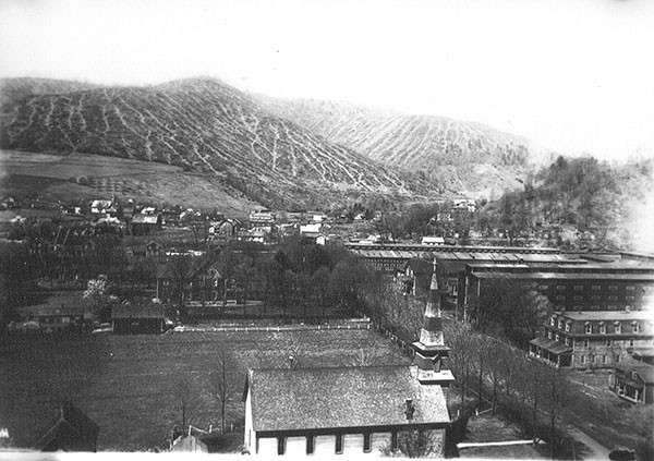
Some of the landscapes along the early AT in Pennsylvania had been stripped of trees and heavily eroded, similar to this 1918 scene in Potter County, following a century of unsustainable logging practices. (PA DCNR.)
In the early 1930s, the ATC worked with existing and newly formed hiking clubs such as the Blue Mountain Eagle Hiking Club (1916) and the Allentown Hiking Club (1931) to route the AT across the Cumberland Valley floor and along the long ridges of Blue/Kittatinny Mountain.
As most of these sections consisted of private landholdings, many handshake agreements were needed and where a route could not be secured, public roads were used. Existing road and rail bridges were also used to cross the several rivers that flow through the ridgeline gaps.
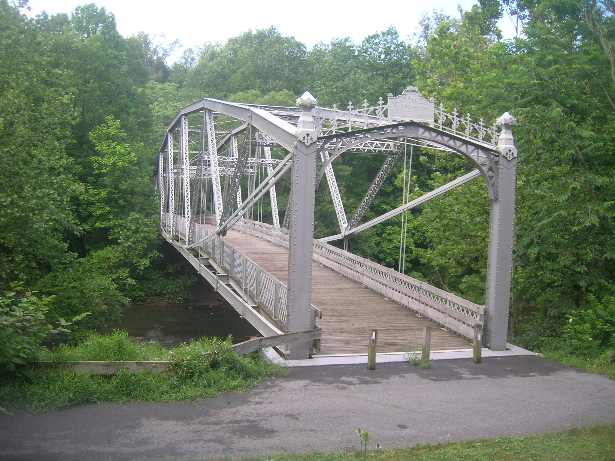
Waterville Bridge (built 1890, relocated to current site in 1985) carries the trail over Swatara Creek in Swatara State Park. It is one of two Berlin Iron Bridge Co. spans along the Appalachian Trail; the other is in Connecticut. (Author photo.)
Because these gaps and bridges were often at the location of towns, the AT in Pennsylvania still goes directly through more town centers than any other state.
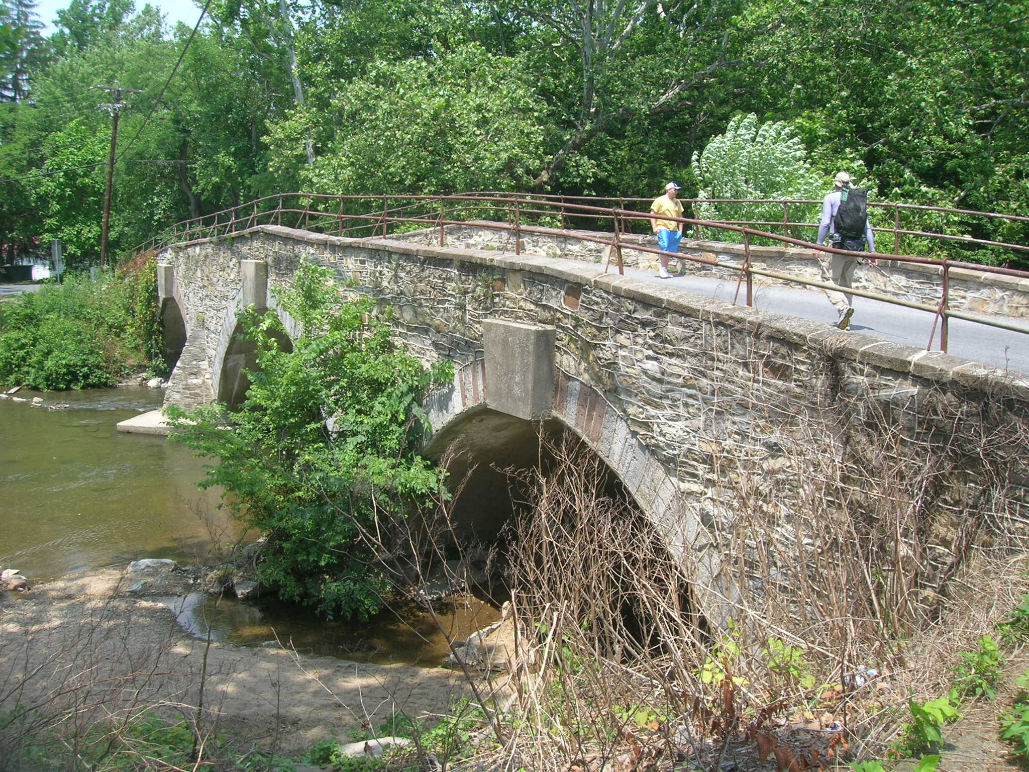
Ege’s Bridge (1854) carries the AT over the Yellow Breeches Creek in Boiling Springs. (Author photo.)
By 1937, the final sections in the deep wilderness of Maine was cut and the Appalachian Trail was complete – only 16 years from its conception. This was a truly remarkable feat, given that it was accomplished by volunteer labor with hand tools in an era with single-day weekends and difficult transportation to the mountains.
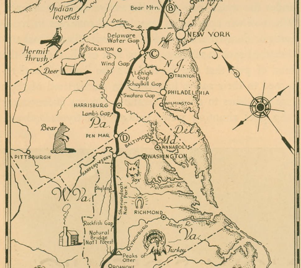
Portion of overall map of the AT from a 1934 guidebook, showing the completed route through PA. (ATC.)
While the work camps and recreation communities originally envisioned by Benton MacKaye never materialized, trail volunteers and groups such as the Civilian Conservation Corps did construct an impressive number of shelters and cabins, along with springs, privies, and other supportive structures to facilitate overnight backpacking.
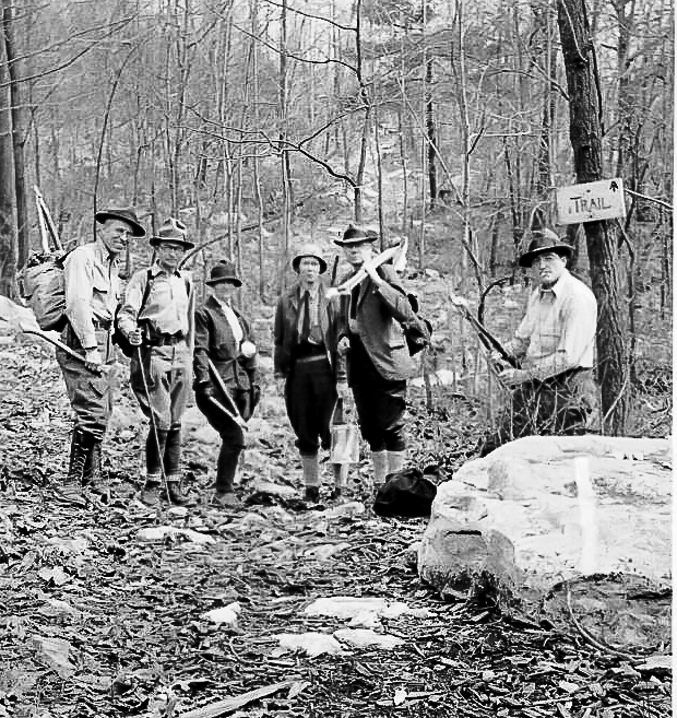
Philadelphia Trail Club maintenance crew near Little Gap, PA, on weekend trip clearing scrub and painting blazes, 1935. (PTC Archives.)
Originally, most shelters were primitive, 3-sided log constructions, sometimes without floors. These have grown more elaborate through the decades, with newer ones including large porches and even second stories. A handful of the earliest shelters do remain.
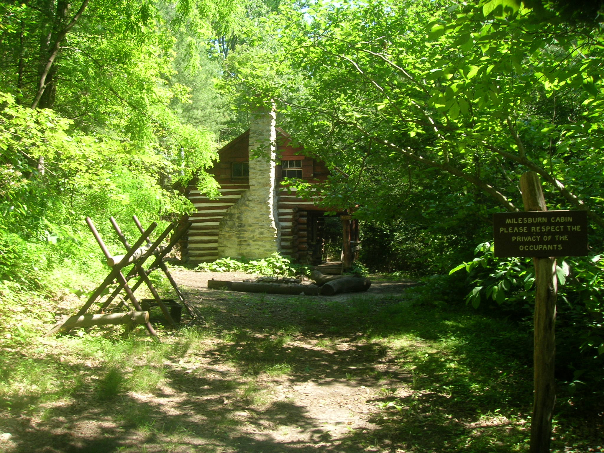
Milesburn Cabin was built in 1930 as a ranger cabin in Michaux State Forest and can be rented by hikers today. (Author photo.)
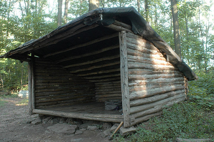
The Earl Shaffer Shelter, built in the 1960s is decidedly primitive affair, though its namesake once said he’d like his name removed after the addition of a wooden floor over the original dirt floor had made it “too fancy.” This shelter now resides in the Appalachian Trail Museum in Pine Grove Furnace State Park. (Charlie Duane, https://sites.google.com/a/cduane.net/shaffershelter/before.)
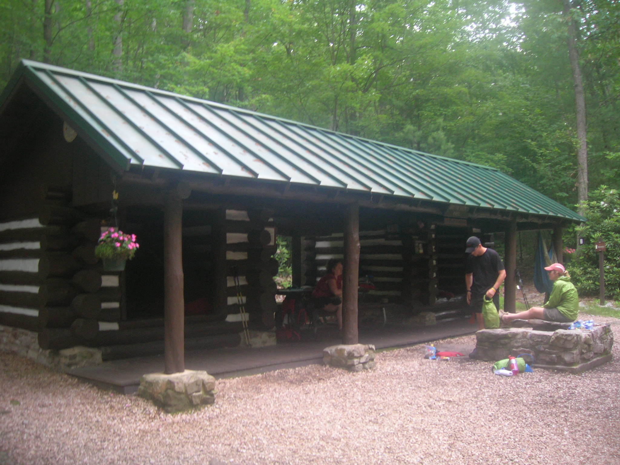
Quarry Gap Shelters in Caledonia State Park, built as a pair of small shelters in 1934 by the CCC, a configuration unique to the shelters of South Mountain. At some point the shelters were given a single continuous roof. (Author photo.)
The challenge of building the trail proved to be nothing compared to the challenge of maintaining it as a continuous route.
As soon as it was completed, the Trail was broken by numerous gaps. The Blue Ridge Parkway and several Southern reservoir projects required major re-routes. A 1938 hurricane hit New England leaving hundreds of miles of trail impassible. Private landowners in some places withdrew access after disputes with hikers. And WWII diverted labor and interest from maintenance of the Appalachian Trail, leaving the trail overgrown and unblazed.
By 1948, when York County native Earl Shaffer became the first person to successfully through-hike the entire Trail, he was forced to bush-whack through or road walk his way around many gaps.
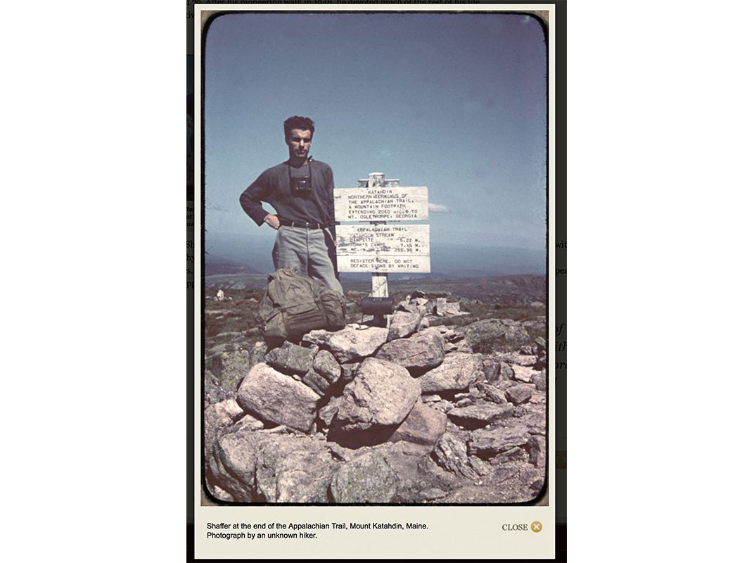
Earl Shaffer of York County had recently returned from the Pacific when he set out to “walk the war out of my system.”
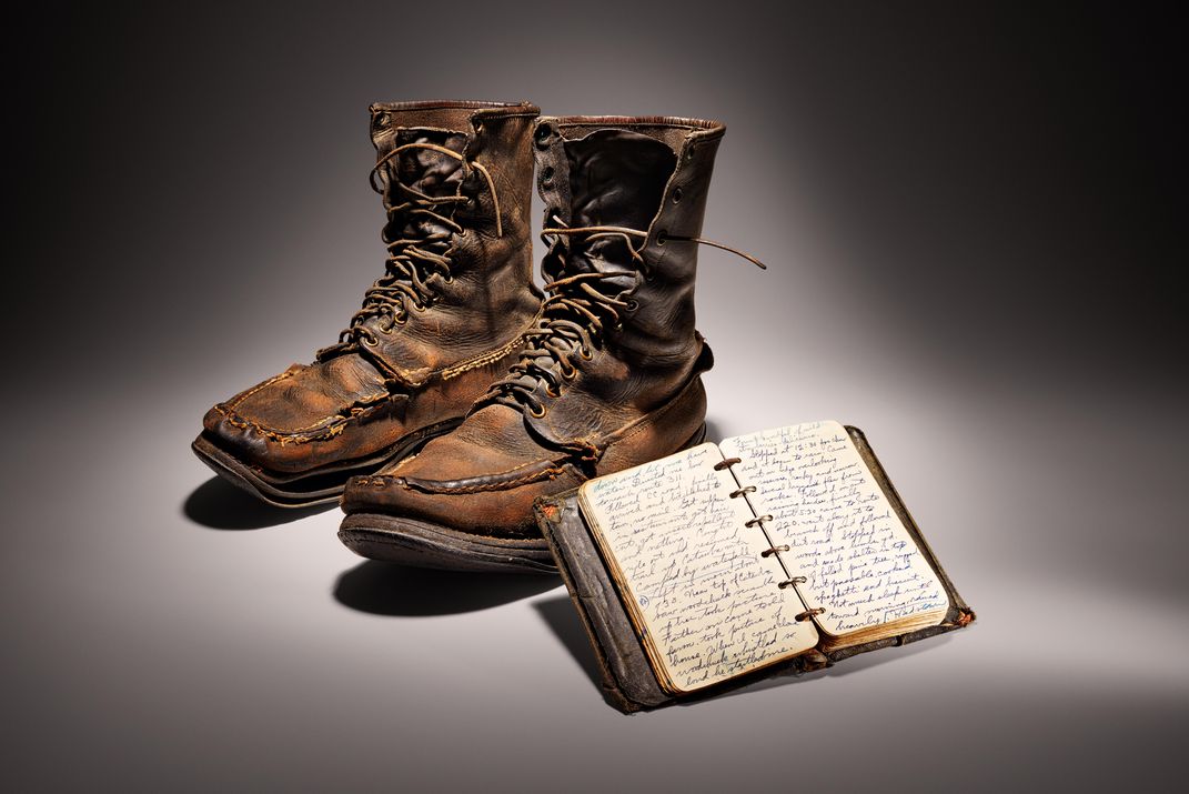
Shaffer’s was the first thru-hike of the entire trail, documented by his slide photos and journal, which along with his boots are now in the Smithsonian Museum of American History. (Smithsonian.com)
In Pennsylvania, several breaks opened in the 1940s and ultimately led to a re-route of over a quarter of the PA mileage.
Most pressing, the Pennsylvania Railroad had stopped allowing hikers to use the Rockville Bridge to cross the Susquehanna River, and around the same time, Fort Indiantown Gap was established and expanded as a US Army training base, closing the trail through the area.
In response, Earl Shaffer and other local supporters formed the Susquehanna Appalachian Trail Club and plotted a new route. In the 1950s, they moved the trail off Blue Mountain between the Susquehanna and Swatara Gap, relocating it to Peters Mountain and through the re-christened “St. Anthony’s Wilderness.”
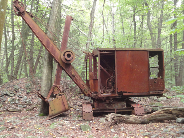
The “General” in St. Anthony’s Wilderness. (Author photo.)
This is one of the largest roadless areas in the state, which still contains interesting artifacts from long-abandoned coal mining communities.
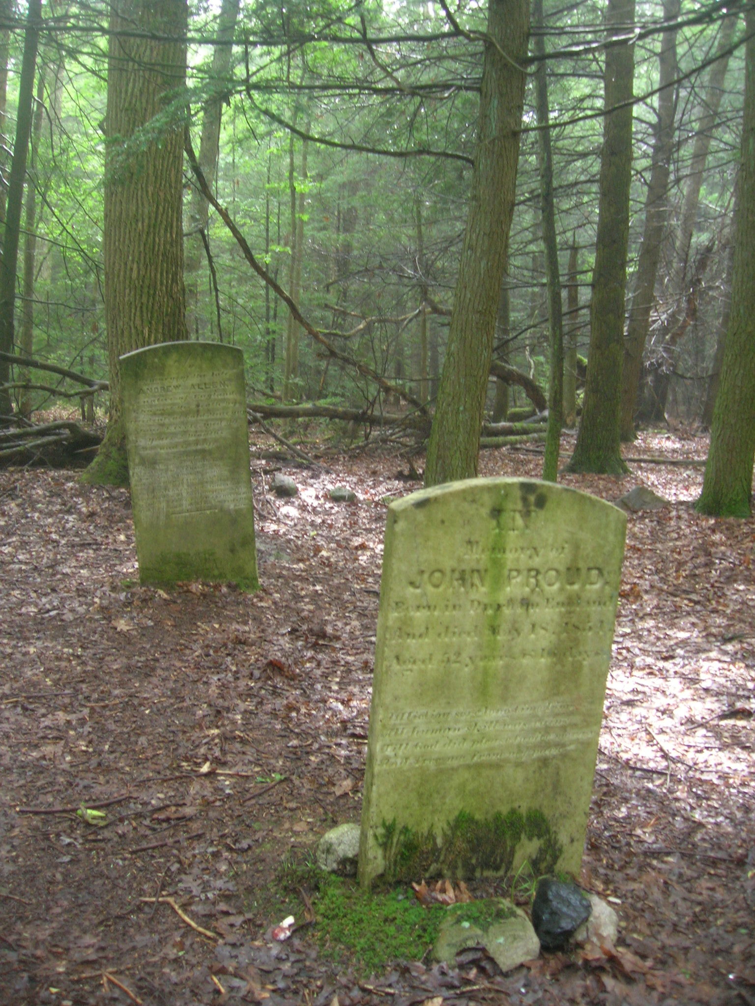
Cemetery in the ghost town of Rausch Gap. (Author photo.)
Happily, much of this land been acquired by the PA Game Commission in the 1940s, allowing for a protected route.
Perhaps the weakest point in the entire trail, however, was the crossing of the 15-mile wide Cumberland Valley.
Trail clubs were forced to locate nearly the entire Valley route onto roads to avoid commercial and residential developments spurred by the construction of Interstate 81 and the increasing suburbanization of Cumberland County.
In the 1960s, the ATC worked with regional trail associations to route a 252-mile Tuscarora Trail between Shenandoah National Park and Duncannon as an alternative that relied on protected public land to keep a continuous route.
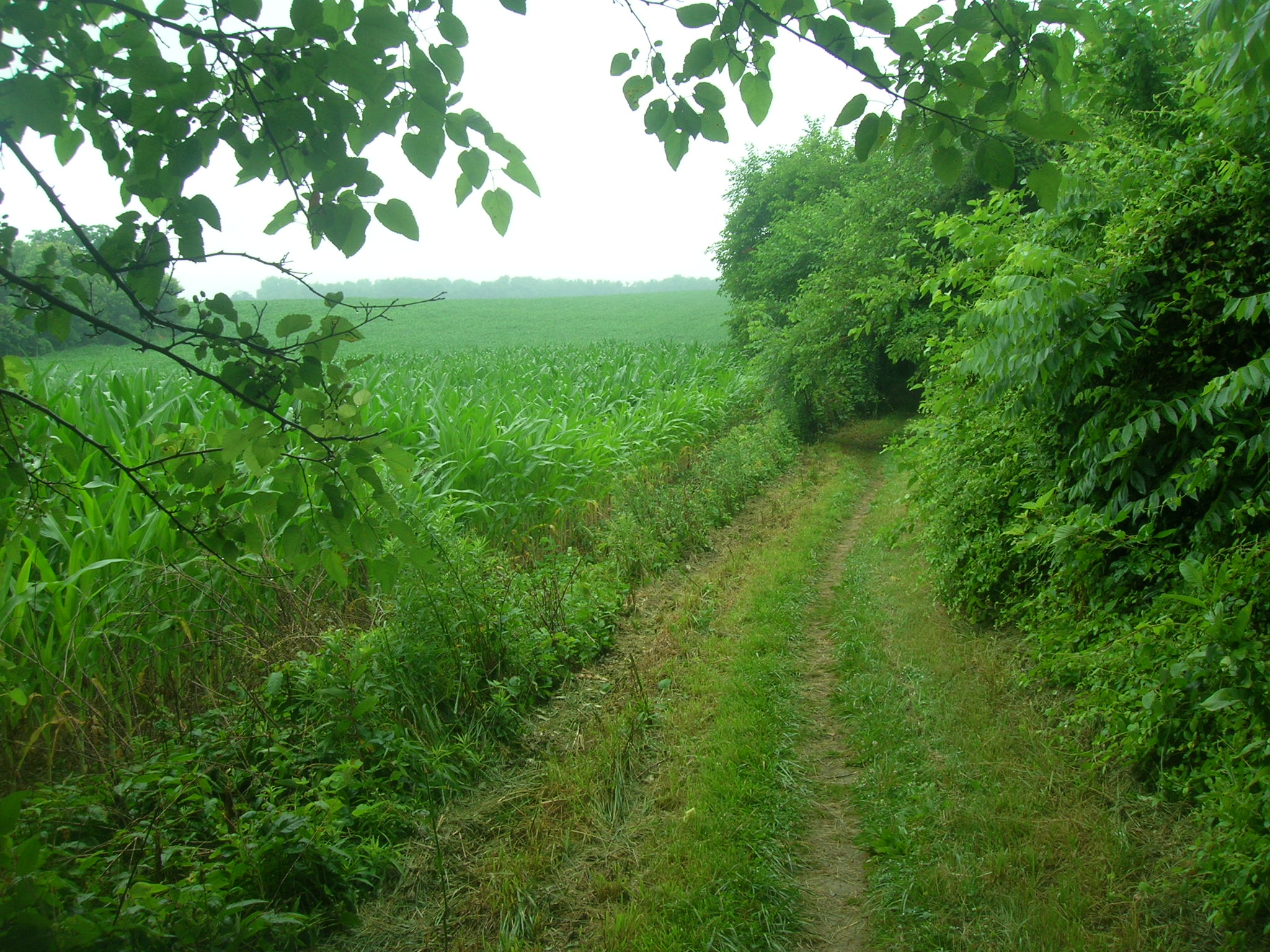
The Appalachian Trail skirts farmland through the Cumberland Valley. (Author photo.)
In 1968, problems of protecting the AT and other trails on private land, along with a rising national consciousness about environmental concerns and outdoors activities, led to the passage of the National Trails Act by the US Congress. This Act turned 50 this year!
This Act designated the AT as the first National Scenic Trail and gave the National Park Service the ability to establish a permanently protected route. Contentious negotiations and land acquisitions took until the late 1980s to secure a permanent route through the Cumberland Valley.
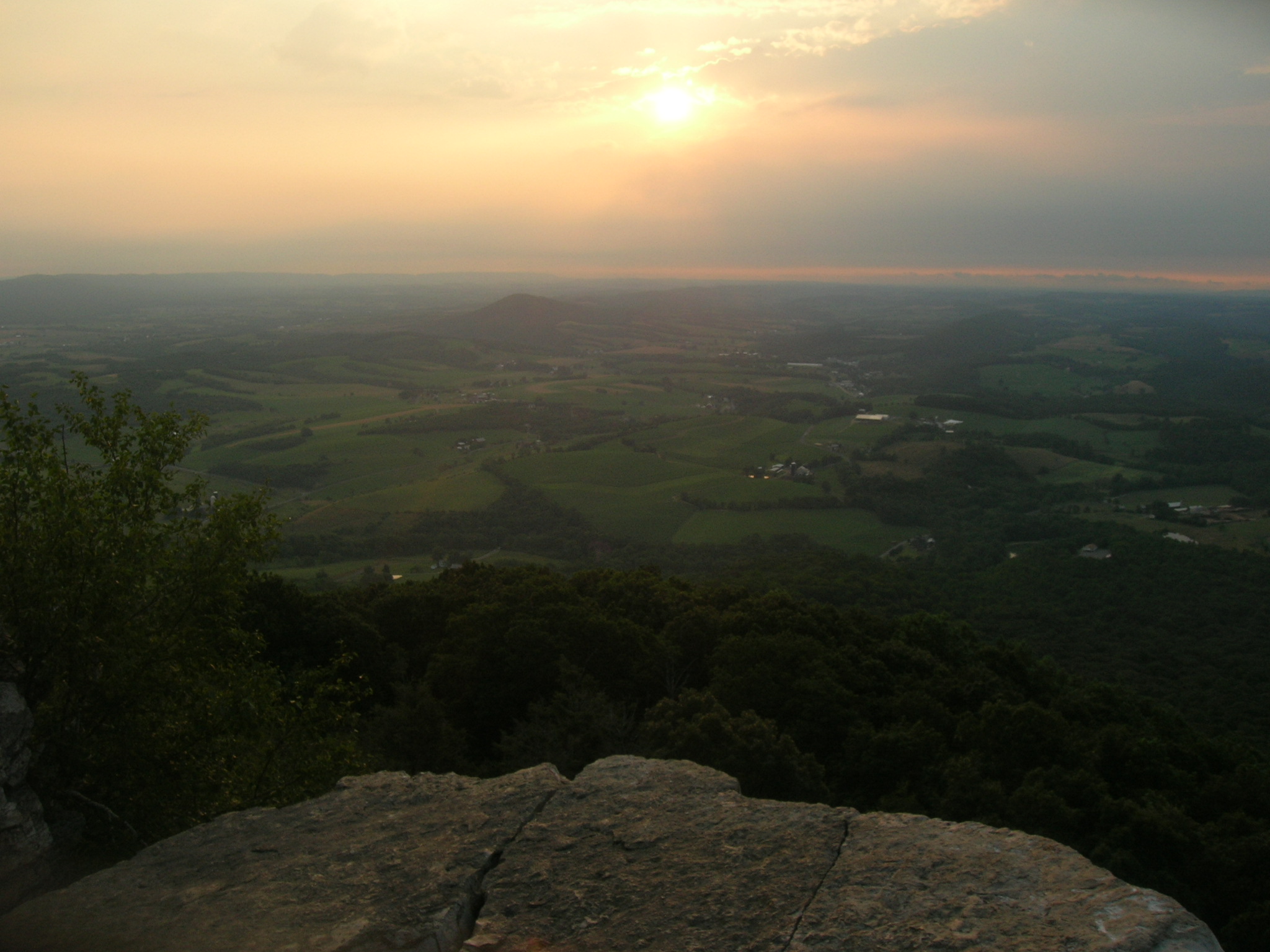
Pastoral View from the Pinnacle. (Author photo.)
Because of these efforts, the Appalachian Trail today is very nearly completely located on permanently protected public land or public easements along its length.
In Pennsylvania, like many other states where development creeps ever closer, the challenge for the next century is to now protect the wilderness experience that originally inspired the trail’s creation. Those green mountain vistas, woodsy wilderness, and yes even the ROCKS are important to preserve for future generations to enjoy.
Because of the Trail’s significance, the PA SHPO is assisting the National Park Service and Appalachian Trail Conservancy with listing the Pennsylvania section of the AT on the National Register of Historic Places. The Multiple Property Documentation Form (MPDF) document has been completed, with the PA, Maine, and Massachusetts sections underway.
Today’s Guest Contributor is Shawn “Keychain” Rairigh. Shawn thru-hiked the AT from March to October of 2008. He is an urban planner with Gannett Fleming in Camp Hill.
thanks to all who have worked on this. With over 2000 thru hikers now, it’s so important that clubs along the way, and all property owners respect and support this great trail…… and leave some ” trail magic” every now and then at your favorite places
good comment
Because of these efforts, the Appalachian Trail today is very nearly completely located on permanently protected public land or public easements along its length.
I am trying to find out how the original AT crossed the Delaware River. As far as I can tell there were no auto bridges at the water gap until the I-80 bridge. Hope you can help.
As the official Pennsylvania State Highway Map for 1950 shows, there was no bridge at the town of Delaware Water Gap. In December, 1953, a modern bridge and section of divided highway were completed, with the highway portion following the east bank of the Delaware River south to Columbia, New Jersey. This new section of bridge and highway was designated US Route 611, and it later became part of Interstate 80. Prior to its construction, hikers had to make an 8-mile detour by way of the Portland (PA) – Columbia (NJ) Toll Bridge 4 miles south of Delaware Water Gap.