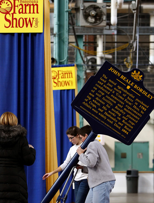
Did you know that the Lehigh Valley was once a major producer of potatoes? Or that Tioga County had a robust tobacco-growing industry? Or that Southwestern Pennsylvania was known for its sheep farms? The list of agricultural products grown and produced in Pennsylvania over the past 300 years is as long and diverse as the state is large. When you put all of these pieces of information on a map, some very interesting and unexpected patterns emerge, and these patterns have a lot to tell us about why our agricultural buildings and landscapes look the way that they do. Continue reading


Recent Comments