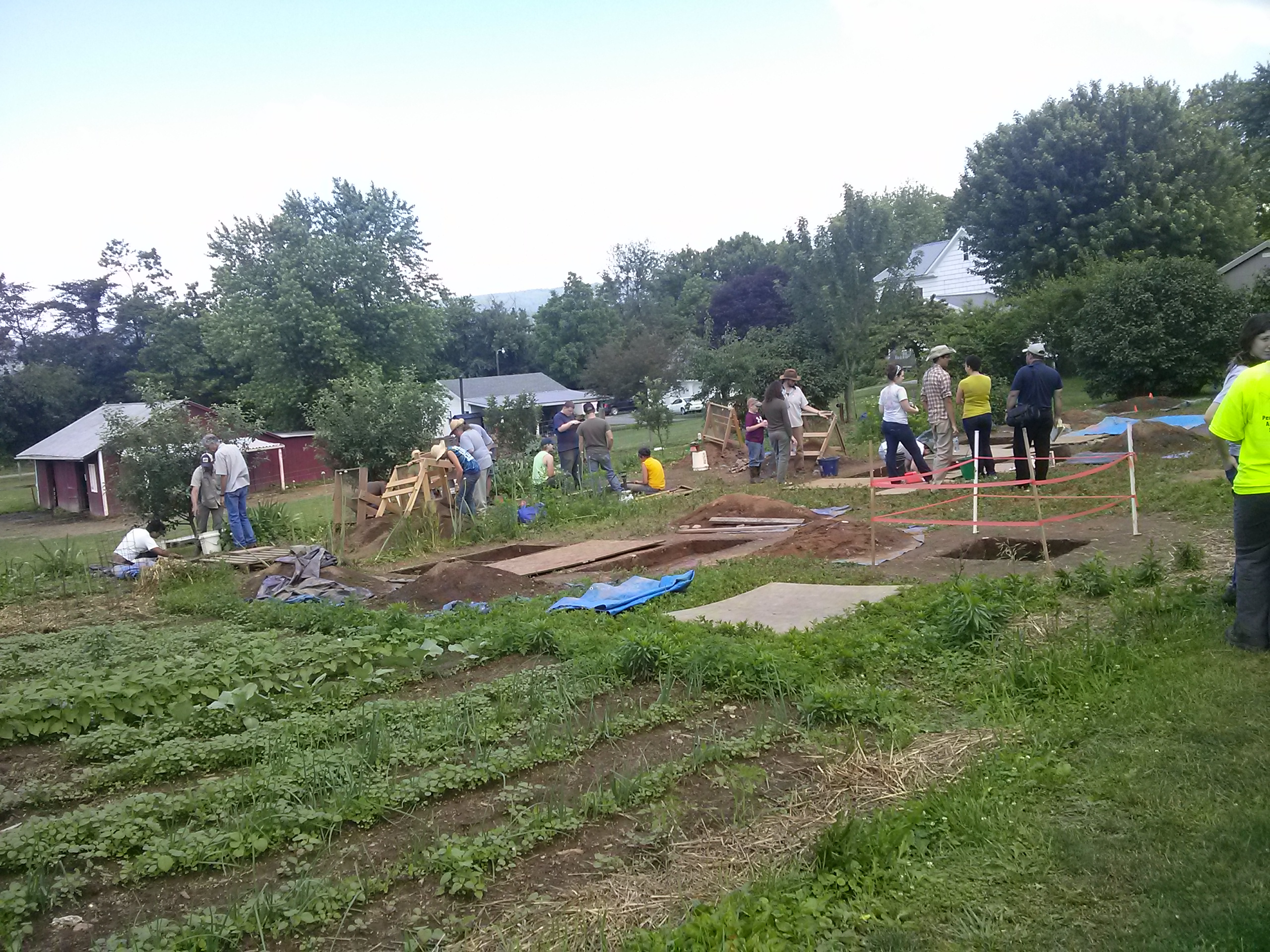
Almost every archaeologist I know has heard this question from somebody from the general public: “How do you know where to dig?” Although it used to give me a facial tic after hearing it over and over, it’s actually not a bad question.
Every day, the Pennsylvania Historic Preservation Office receives a pile of mail containing descriptions, maps, plans and other information on planned projects that involve ground disturbance. Since most of these projects have federal and/or state permitting or funding, they need our agency’s review for potential effects on historical and archaeological resources.
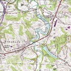
When the archaeologist assigned to a project reviews it, he or she will look at the USGS topographic map section sent to us, and then find the project area on maps in our Cultural Resources Geographic Information System (CRGIS). The first thing done is to note whether or not there is a recorded site there. But the archaeological review doesn’t end at that point. The reviewer needs to decide whether there is potential for an unrecorded historic or prehistoric (Native American sites dating prior to the time of European contact) site in the proposed project area. The map to the left shows numerous high probability areas are located on this map, as are areas less likely to unlikely to contain prehistoric sites.
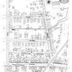
By looking at a combination of factors on the USGS topographic base map in CRGIS, the reviewer makes a prediction of whether a prehistoric site is present. The most crucial of the predictive factors are level ground and a nearby water source. Based on what we know from recorded site locations, prehistoric sites are most numerous and most substantial when closest to large streams and rivers (though they can be located on smaller streams as well). Other factors that you can identify on a USGS map in CRGIS are intersections of two or more streams, southern exposure and well drained soils next to water or next to a substantial wetland/swamp, marsh, etc. No one factor influences site location by itself; it is a combination of these factors that increases the chances of site presence. Historic (non native) sites are predicted from proximity to historic buildings, farms, industrial sites, etc., and along known historic roads. In many cases, the older urban neighborhoods of cities have such potential. But, before conducting a survey, historic maps need to be examined.
Proximity to streams cannot always be indicated from modern maps. For example, in Philadelphia, many of the original streams have been buried and routed to the sewers and storm sewers. Fortunately, available historic maps show the location of these original streams and, in some urban areas, nearby prehistoric sites can remain intact under historic fill.
There are other factors that influence site locations in some areas but not in others. For example, in Southwestern Pennsylvania where the land is dissected and rugged, certain sites are found high above the water on plateau-like ridges and “saddles” (low areas of ridge top between two higher areas—think the shape of a riding saddle). Here, people whom archaeologists call the Monongahela built substantial villages.
Another factor in many areas of the state is the presence of naturally occurring stone suitable for tool-making (for example, flint, chert, jasper, etc.). Case in point: A couple of years ago, I had a telephone call from a disgruntled gentleman who contacted me because he needed an Army Corps of Engineers permit for a project on his property and the Corps was requiring him to conduct an archaeological survey. The Corps requirement was based on an opinion in a review letter from our office in which we stated a high potential for archaeological sites. He had seen the letter and was a bit miffed. He explained that he lived in the uplands away from large streams and wanted to know why in the world we thought there could be a site on his property. Before I could answer, he said without humor “What do you do anyway, flip a coin?!”
In fact, his property was judged to have site potential because of its geological setting; it was in an area of known prehistoric jasper quarries and associated sites, which I explained. Although most people are more polite about such inquiries, asking us how we predict where sites are located is certainly a legitimate question from someone who has never had occasion to think about it before.
This process of determining where sites should be located is called “predictive modeling.” In the absence of more sophisticated archaeological sensitivity models, the process of decision-making that I briefly described is predictive modeling at the most rudimentary level.
In some parts of the state, local or even regional models have been constructed for large projects such as pipelines and new roads. These vary in sophistication to slightly above the level of the reviewer’s initial judgments to well thought out statistical models where numerous factors are correlated and predictions are made and tested against a population of known sites.
PennDOT, in partnership with the PA Historic Preservation Office, has recently initiated the preparation of statewide archaeological sensitivity models. These will be mapped areas of prehistoric archaeological potential divided up by various regions of the state where the environmental factors that influence site location vary with the region (see the Monongahela example above). These layers will reside in the CRGIS as well as in PennDOT’s Linking Planning and NEPA system which is used for Transportation Planning.
Of course, there’s nothing that beats putting a shovel in the ground or looking at a site in the field. Obviously, areas predicted for site locations are refined once an archaeologist gets to the field to scope out a project area or begin fieldwork.
After what I’ve just tried to briefly summarize in this post, I hope I’ve erased some of the mystery of how archaeologists make decisions about where sites may be located. Now I can stop telling people I flip a coin.
Comment Policy
PHMC welcomes and encourages topic-related comments on this blog. PHMC reserves the right to remove comments that in PHMC’s discretion do not follow participation guidelines.
Commenters and Comments shall be related to the blog post topic and respectful of others who use this site.
Commenters and Comments shall not: use language that is offensive, inflammatory or provocative (this includes, but is not limited to, using profanity, obscene, or vulgar comments); disparage other commenters or people; condone illegal activity; identify the location of known or suspected archeological sites; post personal information in comments such as addresses, phone numbers, e-mail addresses or other contact details, which may relate to you or other individuals; impersonate or falsely claim to represent a person or an organization; make any commercial endorsement or promotion of any product, service or publication.
If you would like to comment on other topics not related to this blog post but related to PHMC, please fill out the PHMC Contact Us Form.


Doug,
Well done.
Steve w.
I often get the same question and can now reference your article in future responses. Thank you. Your explanation is nicely given. Your discussion of predictive models apply just as well to my construction project experience in Greece, Turkey and Israel. The principles used in PA are international. In Athens we were predicting buildings and features like aqueducts from 2500 years old literature from the likes of Pausanias. The public was fascinated by the accuracy of the predictive models and supportive of the archaeological program. Bill S.