As we jump into another new spring season, it’s time to take a look back at above ground survey in Pennsylvania in 2021!
For the first time since the 1980s, the PA SHPO is beginning to provide an above ground companion to the PASS Report on annual survey activities throughout the Commonwealth during the preceding calendar year. As many of the PA SHPO’s longtime partners will know, reporting on the scale, geographic extent, and methodology of the survey of architectural and other above ground resources in Pennsylvania throughout the last forty years has not been consistently available to the general public or to our partners.
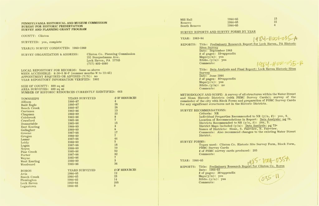
Image Courtesy of the PA SHPO.
The challenge of consistently providing reporting on above ground survey activity has been due in part to the fact that survey activities have not historically been centralized in either coordination or methodology throughout all of the program areas at the SHPO where they are crucial components of those program’s many successes.
In 2021, PAGS – the Pennsylvania Above Ground Survey program – a companion to PASS – the Pennsylvania Archaeological Sites Survey program – was crystalized with the introduction of PA-SHARE and the PA-SHARE Surveyor suite of tools. You can learn more about PAGS and survey in Pennsylvania on the PHMC website.
While the 2021 PAGS Annual Report focuses on a partial year in review of just Surveyor related activities, in the future the PAGS reporting will encompass a broader range of SHPO program areas and goings-on. Please read on in this blog post to understand a summary of how the PA SHPO has centralized and coordinated above ground survey in 2021 and learn about some of PA-SHARE Surveyor’s first successes!
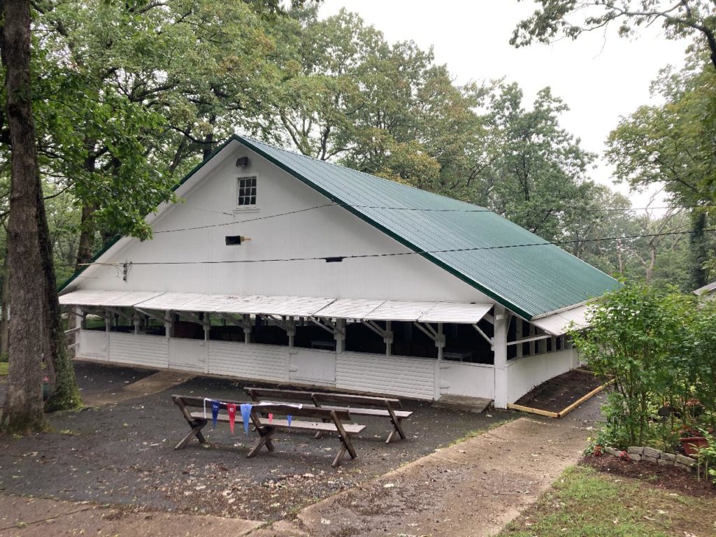
Herndon Camp Meeting Tabernacle exterior in Herndon, Northumberland County, PA. This resource was documented as part of the PA SHPO’s new Baseline Survey effort using PA-SHARE’s new Surveyor tools. Image from PA SHPO files. 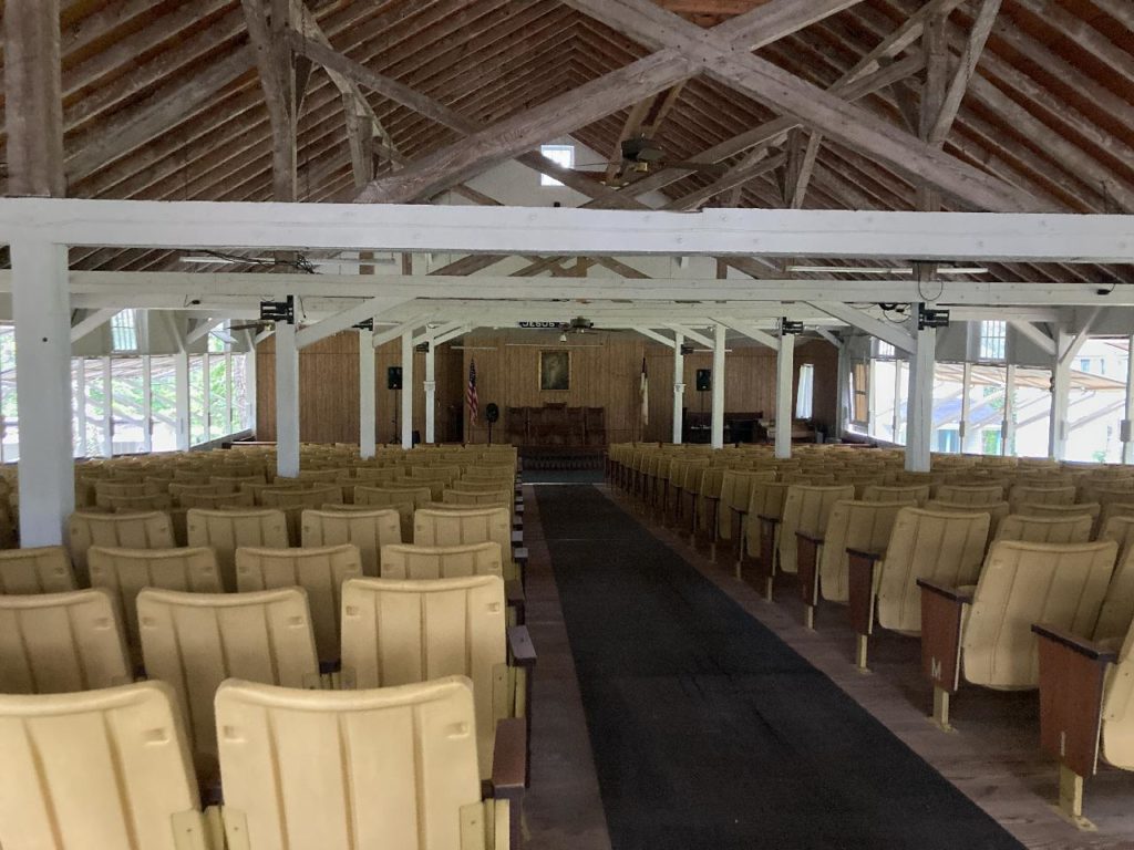
Herndon Camp Meeting Tabernacle interior in Herndon, Northumberland County, PA. This resource was documented as part of the PA SHPO’s new Baseline Survey effort using PA-SHARE’s new Surveyor tools. Image from PA SHPO files.
Standardization, Centralization, and Coordination
As the PA SHPO’s “power users” (slang you may hear from PA SHPO staff that is used to refer to the heaviest or most frequent users of the PA-SHARE system and its components) are likely aware, while the overall PA-SHARE system at its share.phmc.pa.gov web address came online at the end of February of 2021, the PA-SHARE Surveyor component of the new data management system did not arrive on the scene for users until August of that year.
This is a consequence of the fact that the structure and processes of the main PA-SHARE data management tools were the foundation on which the PA-SHARE Surveyor tools and methods needed to be built. Once the needs and nuances of resource submission and processing were identified and established for PA-SHARE, Surveyor could follow its lead to ensure consistency in submission expectations as well as effectively provide a slimmed-down and expedited approach to resource recordation and submission.
Accordingly, the PAGS Annual Report for 2021, which is focusing on Surveyor related activities for that year, is a partial year report that reviews August through December of 2021.
With the creation and implementation of the PA-SHARE Surveyor suite of tools – which can be read about in their introductory blog post “PA-SHARE’s Surveyor is Here!” at https://pahistoricpreservation.com/shares-surveyor-here/ – the PA SHPO provided the means through which resource information for all types of resources handled in PA-SHARE (all above ground resource types, districts, cemeteries, and archaeological sites) could be easily standardized.
By using field validation on submission modules in Surveyor Manager – known in layman’s terms at the red asterisk that forces submitters to provide the information that is required to create a resource record that is up to the PA SHPO’s identified minimum required standards – the PA SHPO is now able to ensure that moving forward every resource submission contains the same baseline level of information, as well as the same types of information.
This means that we are moving away from the days when a user would have the experience of opening an online resource record in CRGIS only to find a blank pop-up window with nearly no data and with no attachments. With the standardization provided by PA-SHARE and Surveyor, all records moving forward from 2021 have critically useful descriptive and historic information and at least one image or attachment included on the digital resource record, without fail.
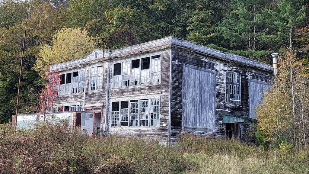
Image from PA SHPO files.
With the introduction of the PA-SHARE Surveyor tools, survey projects are centralized in the Surveyor Manager, Surveyor Mobile, and Surveyor field applications. Users that are working on multiple survey projects now have the ability to work in a streamlined online interface while effectively collaborating with their team members on resource-by-resource submissions – a feature that, amongst others, is not available as part of the main PA-SHARE submission process, and will be discussed further below.
Survey projects are thus more effectively coordinated with the SHPO. Knowing the correct PA SHPO staff to contact for questions and troubleshooting (Elizabeth Shultz is the PAGS Coordinator, at elishultz@pa.gov, and Taylor Napoleon is the PASS Coordinator, at tnapoleon@pa.gov), as well as always having an understanding that the experience survey fieldwork and submission expectations from SHPO staff will remain constant, means that our partners can more effectively plan and execute their work with few – if any! – surprises.
First Successes
The successes that are highlighted in the 2021 PAGS Annual Report include Field and Team Collaboration, Expediting Resource Recordation and Submission, Year One of the new Baseline Survey Project, and Total Offline Fieldwork. For the purposes of this blog post, we are going to provide a brief summary of “Highlight One: Field and Team Collaboration” from the 2021 PAGS Annual Report.
For information on the Baseline Survey Project and a summary related to the contents of “Highlight Three: Year One of the Baseline Survey Project,” please see the pahistoricpreservation.com blog posts Kicking Off PA SHPO’s Baseline Survey Effort and Baseline Survey: An Essential Ingredient in Our Preservation Pantry.
Summary of “Highlight One: Field and Team Collaboration” from the 2021 PAGS Annual Report
On the main PA-SHARE website, share.phmc.pa.gov, while SHPO partners may work collaboratively on the research and external compilation of information, the submission process is a solitary affair. The same user submits the shapefile for the resource boundary, or creates it by hand, enters the correct descriptive and historic information into the required fields, and uploads confirmed accurate images and attachments.
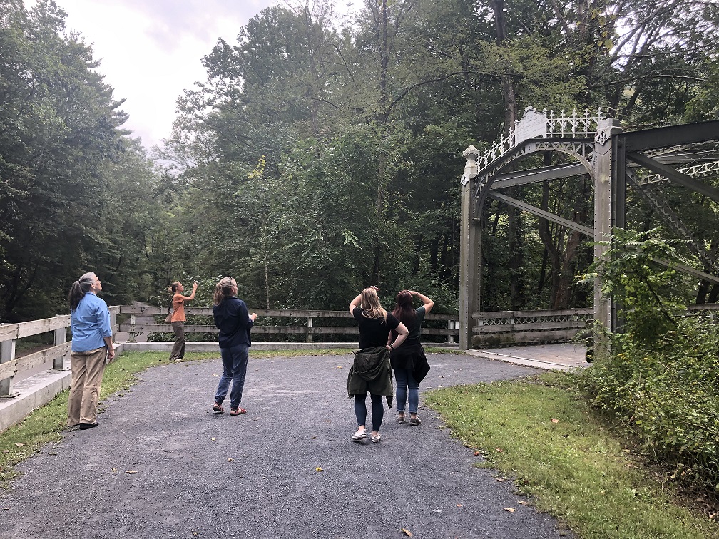
At the PA SHPO, we are aware that this does not always match the workflow of our partners! Accordingly, one of the highlights and successes of the Surveyor suite of tools is the ability to permit and promote the collaborative work of our partners in the pre-submission stages of survey projects. Using Surveyor Manager, teams can simultaneously work on resource submission records and update, map, provide images, et cetera, for records created or identified by other team members in real time, meaning that teams can truly work together to effectively expedite the resource documentation and submission processes.
Surveyor also includes built-in mechanisms to allow team members to communicate with each other and project leads about the completeness or nuances of specific individual resources – all online in a streamlined interface without having to do tedious data entry of the same information multiple times in multiple places. Survey Project Leads can therefore QAQC documentation inside the system prior to submission to the SHPO, thereby potentially minimizing future requests from SHPO staff for later clarification or more information.
Furthermore, this collaboration extends to the Surveyor field app. Resources that were pre-populated in Surveyor Manager by other team members can be accessed and updated in the field by others in real time. This means that someone could be working the office while others are in the field, and their collaboration on documentation is seamless.
Looking Forward in 2022 and Beyond
Getting PA-SHARE’s Surveyor tools up and running took a significant investment of time and patience from both SHPO staff and our earliest using partners! The PAGS program would like to extend its hearty thanks and gratitude to all of the users who worked with us on and using Surveyor in 2021.
We look forward to continuing our work together for many years to come! Surveyor has already seen some new enhancements to its tools in 2022 that were developed based on feedback from its users, and which will be featured and explained in a post on pahistoricpreservation.com later in the spring.
If you would like to do survey work in Pennsylvania and be able to contribute your own suggestions for future enhancements to our online tools, please contact PAGS Survey Coordinator Elizabeth Shultz at elishultz@pa.gov to learn more about how you can partner with the PAGS program!
Comment Policy
PHMC welcomes and encourages topic-related comments on this blog. PHMC reserves the right to remove comments that in PHMC’s discretion do not follow participation guidelines.
Commenters and Comments shall be related to the blog post topic and respectful of others who use this site.
Commenters and Comments shall not: use language that is offensive, inflammatory or provocative (this includes, but is not limited to, using profanity, obscene, or vulgar comments); disparage other commenters or people; condone illegal activity; identify the location of known or suspected archeological sites; post personal information in comments such as addresses, phone numbers, e-mail addresses or other contact details, which may relate to you or other individuals; impersonate or falsely claim to represent a person or an organization; make any commercial endorsement or promotion of any product, service or publication.
If you would like to comment on other topics not related to this blog post but related to PHMC, please fill out the PHMC Contact Us Form.
What is the State cost/fee of registering a historic home?