Blog of the Pennsylvania State Historic Preservation Office

Author: Mark McConaughy

Mark McConaughy, Ph.D., is the western Pennsylvania regional archaeologist for the Bureau for Historic Preservation of the Pennsylvania Historical and Museum Commission responsible for reviewing proposed coal mine projects.

Spotlight Series: McKees Rocks Mound

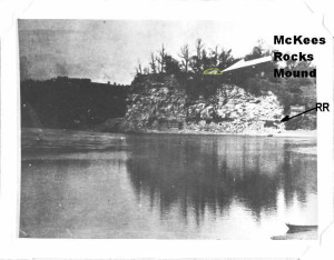
Location of McKees Rocks Mound on the bluff overlooking the mouth of Chartiers Creek with the Ohio River in the foreground.  This photograph was taken in 1896 and is used courtesy of the Section of Anthropology of Carnegie Museum of Natural History.  It was taken from either from a boat or Brunot’s Island in the Ohio River.  The white arrow was added by the excavators.  There is a train track at the base of the bluff.  The author added the mound outline, dark arrow pointing to the railroad line and mound label.

Location of McKees Rocks Mound on the bluff overlooking the mouth of Chartiers Creek with the Ohio River in the foreground. This photograph was taken in 1896 and is used courtesy of the Section of Anthropology of Carnegie Museum of Natural History. It was taken from either from a boat or Brunot’s Island in the Ohio River. The white arrow was added by the excavators. There is a train track at the base of the bluff. The author added the mound outline, dark arrow pointing to the railroad line and mound label.

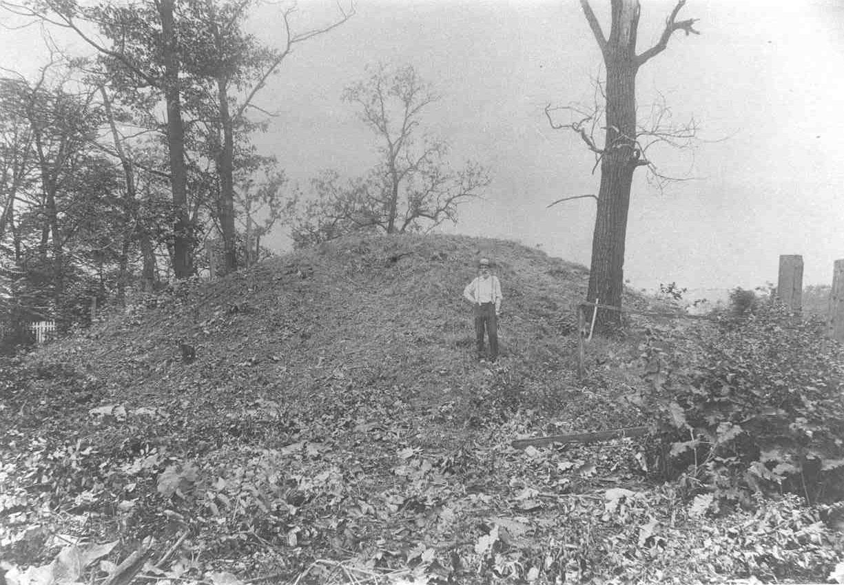
McKees Rocks Mound was the largest prehistoric mound found in Western Pennsylvania.  It was 16 feet high and had a basal diameter of 85 feet.  The mound was well known in the 19th century and was located on a bluff overlooking where Chartiers Creek enters the Ohio River in the borough of McKees Rocks. Continue reading
Wordpress Social Share Plugin powered by Ultimatelysocial