
In my last post about the Battle of Thompson’s Island, I gave a brief background on the conflict and discussed the National Park Service’s American Battlefield Protection Program (ABPP) grant our office received to find the battlefield. Like the campaign itself, the project has continued moving.
- We have chosen a consultant, Chris Espenshade of Commonwealth Cultural Resources Group.
- We held the kick-off meeting with our partners from the Seneca Nation of Indians (SNI), the Allegheny National Forest (ANF), and Friends of the Allegheny Wilderness (FAW).
- Espenshade has submitted the research design and it was approved by ABPP.
- The historic research has been completed (with the help of Keystone interns Kaitlyn Coleman and Madison Ramsey, and volunteer historian Bruce Kish).
- The first 2 of 4 public meetings (to introduce the project to the public) have been held, one on the SNI reservation in Salamanca, NY, and one at the ANF headquarters in Warren, PA.
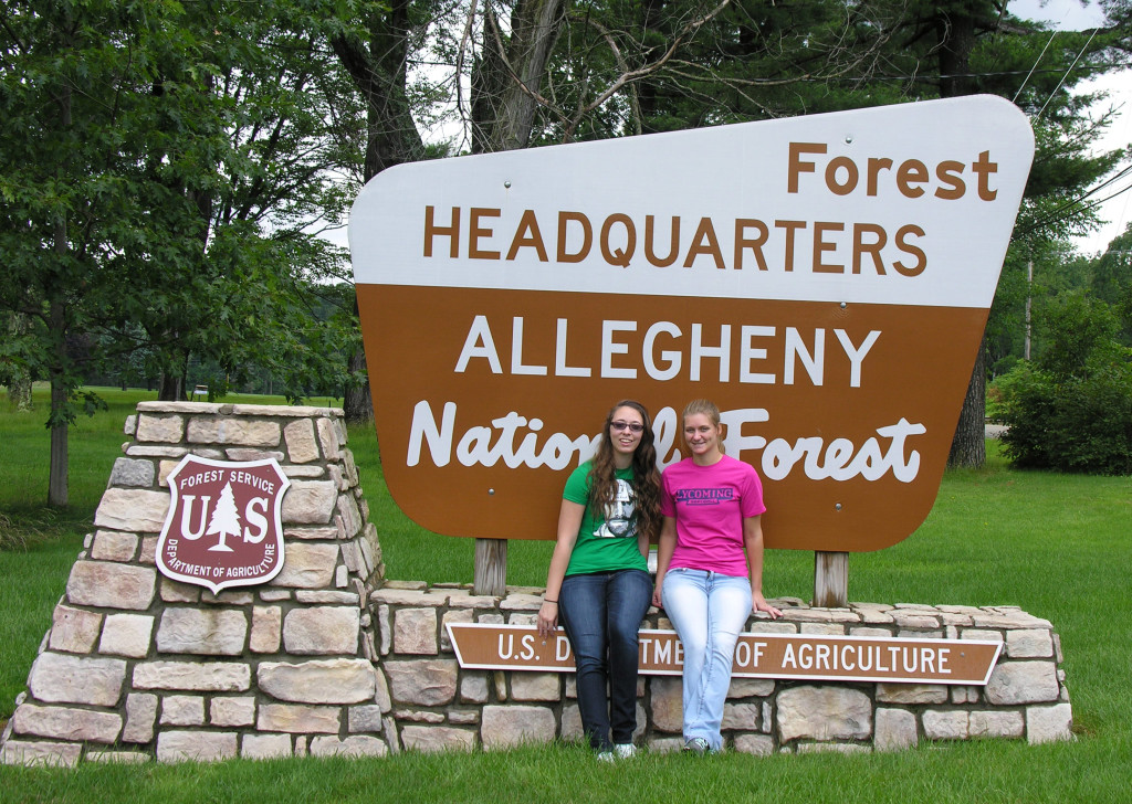
Keystone Interns (l to r) Kaitlyn Coleman and Madison Ramsey at the Allegheny National Forest headquarters in Warren, PA.
Archaeological fieldwork will begin in the near future. At the public meetings, Mr. Espenshade provided a lot of information about what the research has revealed, but more importantly he passed on information about how historians work to evaluate the historic record. Many people may think that we should just run out with our metal detectors and start digging; after all, it was called the Battle of Thompson’s Island, we know where Thompson’s Island is located, so we’re good to go, right? Not so fast!
Archaeological survey costs money—unfortunately funds are not limitless— and if we hope to find the battlefield we need to narrow our search. After all, at the time of the battle, what is now Warren County was the frontier. There were no Euro-American maps of the area; in fact, the campaign ended when Brodhead’s Delaware (Native American) guides reached a point (in New York State) where they were unfamiliar with the area. The name, “the Battle of Thompson’s Island” was not even given to the battle until about 100 years later; another source suggests that the battle took place near a different island close to present-day Thompson’s Run (about 3 miles south of present-day Thompsons Island). Clearly the name is not 100% reliable. The big secret is: neither are the records.
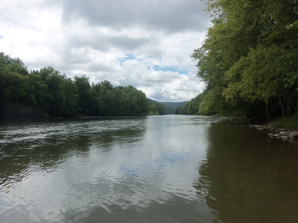
Allegheny River near Thompson’s Island. Photograph by Kirk Johnson.
For example, while the campaign took several months and covered hundreds of miles, Brodhead’s report to General George Washington consisted of a two page letter based on Broadhead’s memory of the events. The route of the battle was not even mapped until after the fact. The records (from soldiers who accompanied Brodhead, from Native American oral history, and so forth) also vary widely in some respects: the battle took place 3…or 4…or 5…miles south of Brokenstraw Creek—as a longstanding Native American name for the Creek, this place name can be trusted; there were 10…or 20…or 30…or 40…Native American combatants; the Native Americans were a hunting party…or a war party. With information like this, it may seem that any hope of finding the battlefield is lost. Not so fast!
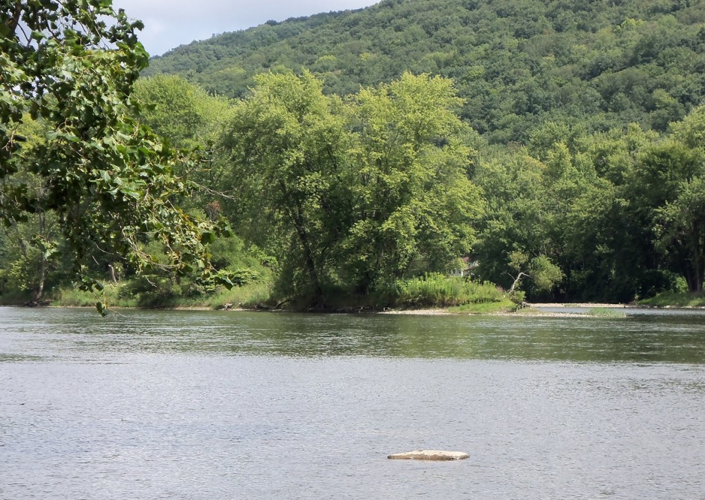
The southern tip of Thompson’s Island. Photograph by Kirk Johnson.
When you combine the records with a pinch of common sense and a dash of knowledge of military tactics, you can narrow down the possibilities quite well. All of the records agree that the battle was at most about 5 miles south of Brokenstraw Creek (although how the distance was calculated is unclear), that there was an island there, that the Native Americans swam around the southern tip of the island to escape Brodhead’s men, that Brodhead’s men deployed in a specific formation, and that Brodhead’s force of at least 600 encamped there following the battle. Once we find a site that fits these characteristics and could accommodate that many men in a camp (especially considering how narrow the river valley is) we have a good candidate. This analysis knocks us down to three candidates for the location. How well the location fits the majority of the records (including Seneca oral history) of the battle allows us to rank these candidates from best fit to worst and focus our efforts accordingly. The fact that Brodhead’s men encamped there, likely dropping buttons, lead shot, etc. gives us more hope that the archaeological signature will be large enough that we can find the battlefield. So we now have gone from a few conflicting records to three ranked locations. The campaign to find the battlefield continues.
Leave a Reply